Zoning Certificate applications can be completed digitally and submitted to the Planning Division at development@cityofcf.com or can be mailed to Planning Division, City of Cuyahoga Falls, 2310 Second Street, Cuyahoga Falls, Ohio 44221
For more information please see our COVID-19 Zoning Certificate Application Procedures & Information Guide.
Development Code Map
The General Development Code is presented in an interactive format to assist in finding planning, zoning and development code information. The map can be used to identify a property’s zoning and relevant code sections.
Users can access the full code by clicking View, or can look up a specific section or term by using the Search function. The Quick Tables button provides quick access to frequently requested information, such as required lot sizes, setbacks and zoning use categories.
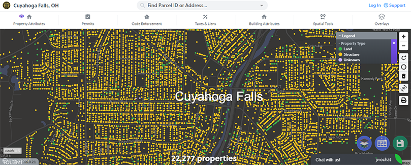
Zoning & Ward Map
Tolemi’s Building Blocks mapping tool offers a wide range of property information. Searchable by address or parcel ID, this map provides useful property information, including zoning designation, council ward, code enforcement records and tax information. Satellite and street views are also available.
Summit County
Summit County’s GIS Department provides many interactive mapping systems that include property tax information, parcel data, zoning, and school district boundaries. Several different apps are available from their site, including an Environment Viewer with selective layers such as topography and floodplain boundaries.